Domus.Cad 23.00.12 – Optimised for users
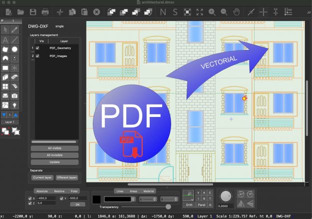
After a series of versions featuring the addition of important features, such as layer management, automatic frames, PDF file conversion, advanced DWG-DXF management and more, this version of Domus.Cad is characterised by a long work of optimisations and improvements of what has been done so far. This work has also been done thanks to our…
The stratigraphies in Domus.Cad
Stratigraphies describe the composition of a wall, floor or roof, dividing it into components, i.e. strata. The strata Through the Strata command from the Modify menu, the dialogue window for defining the preferred strata opens. Each stratum is defined by a series of descriptive, graphical and numerical parameters: The name of the stratum The 3D material The color and the…
Domus.Cad Pro 22.02 – Differences From 22.0.1
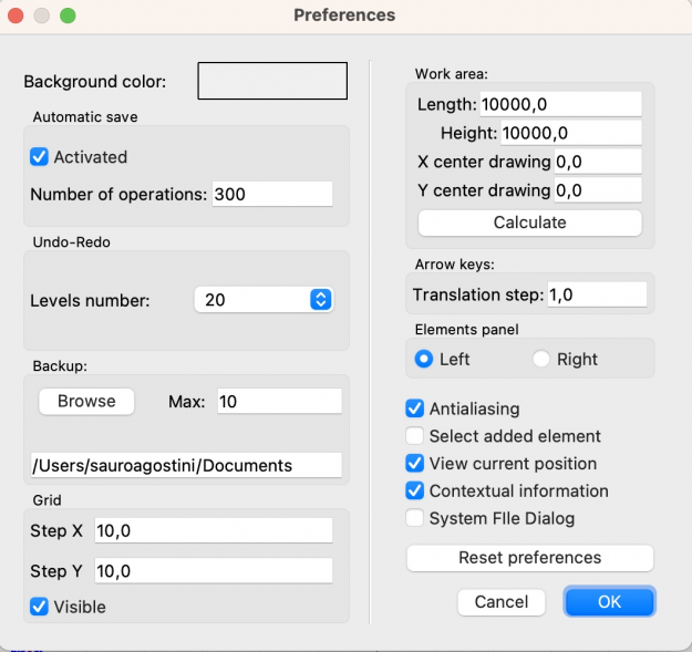
Undo-Redo management Until the previous version, the number of Undo-Redo operations was unlimited, i.e. it was possible to undo and eventually redo an indefinite number of operations. Each operation is kept in memory to be subsequently cancelled, this for complex projects can lead, as the work proceeds, to a memory occupation which can slow down…
Apply frame in Domus.Cad
As described in the article Parametric frames in Domus.Cad 22, there are two ways to apply frames to openings: Parametric frames and Apply Frame. For the details of the first method, we refer to the article, in this one we talk about the second. Apply frame is a function that can be used from the…


