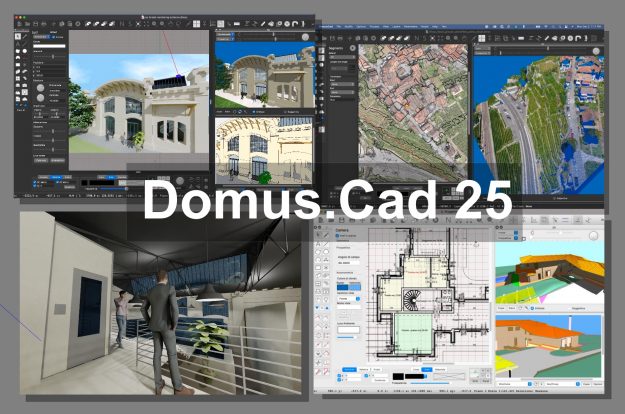
Domus.Cad 23.00.12 – Optimised for users

After a series of versions featuring the addition of important features, such as layer management, automatic frames, PDF file conversion, advanced DWG-DXF management and more, this version of Domus.Cad is characterised by a long work of optimisations and improvements of what has been done so far. This work has also been done thanks to our…

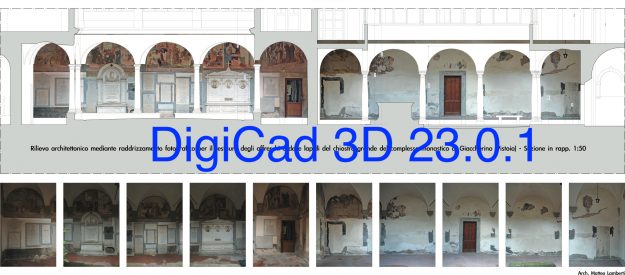
New DigiCad 3D with PDF conversion and image drilling

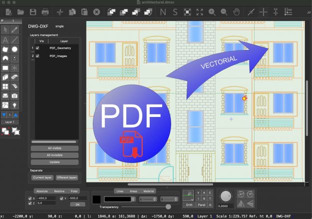
The version 23.0.1 of DigiCad 3D has been released which, among the various improvements, includes two very important functions, the conversion of PDFs into vector drawings, documents, graphics, etc., and the cropping of images, both for drilling and for cutting.   Remember that DigiCad 3D is an aerial, terrestrial and cartographic photogrammetry program. PDF Conversion…

Domus.Cad Pro 22.02 – Differences From 22.0.1

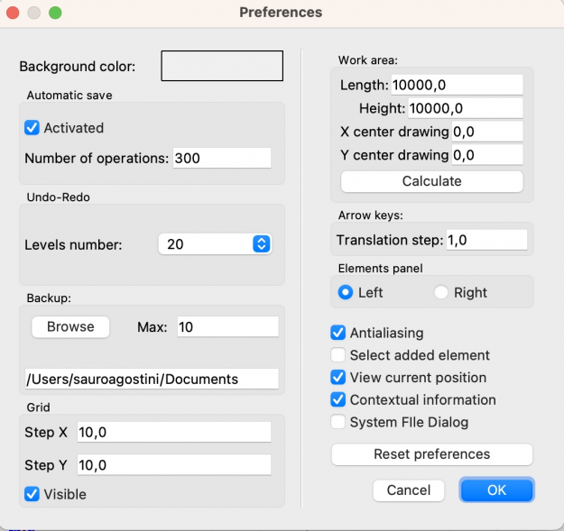
Undo-Redo management Until the previous version, the number of Undo-Redo operations was unlimited, i.e. it was possible to undo and eventually redo an indefinite number of operations. Each operation is kept in memory to be subsequently cancelled, this for complex projects can lead, as the work proceeds, to a memory occupation which can slow down…

From Google Maps to Domus.Cad with Map2Cad

Map2Cad is a module of Domus.Cad Pro and Std, which enables you to import both satellite and road maps from Google Maps.

Maps are imported with actual measurements and represented in the video scale selected in Domus.Cad.

The main features of Map2Cad are:

  • Internal browser for viewing maps, with the Google Maps functions integrated
  • Import of maps
  • Managing a list of maps
  • Inserting the maps from the list into Domus.Cad
  • Maps are imported with actual measurements

The use of Map2Cad is very simple and allows for the integration of each of the Google maps features in Domus, including search functions, display choices, street view and more.

When you choose Map2Cad from the Domus.Cad Modules menu, the following dialog box appears:image01

On the left, a list of previously imported maps appears.