


Light management in Domus.Cad

DigiCad 3D, a software for aerial and ground photogrammetry and cartography, has reached version 25.
Let’s see what’s new.
nspector panel
The inspection panel has been modified and other controls have been added.

Transparency
The transparency slider allows you to change the transparency of selected elements. If there are selected elements, their transparency is changed in real time as the cursor moves from no transparency to completely transparent on the left, this operation can be undone with Undo transparency.
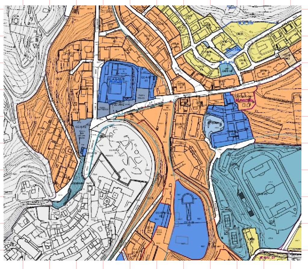
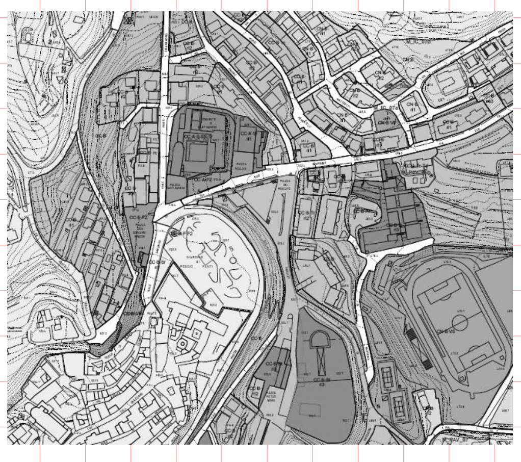
Layer menu
The menu shows the current layer and allows you to choose the layer to be displayed. They are the layer of the destination window.
Layer parameters
The button  open the dialog window of the layers menagement, where it is possible to modify, delete and add layers.
Roto-translation
QThis new command in the Edit menu allows you to rotate and move the selected items.
After selecting the items affected by the operation, the command opens the following dialog.

The parameters to be entered are:
- The angle of rotation, positive clockwise
- Rotation center
- dX and dY moving
- The check box “In the selection center” calculate the center of the rectangle that includes all selected elements
Ractangles
The Rectangle element has been added.
To add it you can click on the rectangle icon in the palette at the top ![]() or from the drawing menu.
or from the drawing menu.
The rectangle can be drawn from the center or by the diagonal. The mode is chosen from the menu Draw

Double-click on the rectangle to open the transformation window

Where it can be rotated and scaled.
The rectangle can be modified by moving the 8 handles numerically or with the mouse:

All the changes can be made to the rectangle on the edge and inside as well as to the other figures (thickness, color, line type, fill color and fill type..
Resample images
The command of Image Resample, from the menu Transform->Transform Image->Resample Image, allows you to change the resolution and color depth of images, to optimize memory usage and operating speed.
You need to select an image and run the command, a dialog box with the characteristics of the selected image will open.

On the left are shown the parameters of the selected image and on the right you can change the resolution and color depth.
The resolution can be chosen according to the type of printing. 150 dpi is sufficient for printing on inkjet printers, higher resolutions are needed to have a typographical quality.
Changing the parameters immediately shows the data of pixels and occupied memory.
ARM, M1 and later processors
Version 25 has also been made native for ARM, M1, M2 and later processors, as well as Intel Windows and MacOs.
DigiCad 3D in brief
- DigiCad 3D is mainly used for photogrammetry and cartography. The program operates on surfaces of different types, including architectural, cartographic and pictorial, within a complete and flexible CAD environment.
- Among its main functions, we highlight exclusive and innovative tools that allow you to work on specific parts of the images, control transparencies, operate on smooth and irregular curved surfaces and eliminate optical deformation of the lenses.
- DigiCad 3D is capable of carrying out a wide range of tasks, such as eliminating the perspective deformation of images, creating orthophotos, correcting and georeferencing maps, superimposing and joining drawings and maps at different scales, and much more.
- Specific features include the ability to eliminate perspective deformation based on four or more control points, transform only part of the image, work with transparent or opaque images, mosaic images, straightening of curved surfaces and elimination of optical deformation.
- The software also supports inserting exactly scaled images from Google Maps, managing point clouds, digitizing drawings and photographs, creating textures from photos and processing images, among other features.
- Finally, DigiCad 3D offers several options for importing and exporting data in various formats, allowing interoperability with other programs and applications.
Other information
DigiCad 3D 24 – New functionalities
Digicad 3D 23; The new version
digicad-3d –innovation in photogrammetry and-cartography
Related posts


