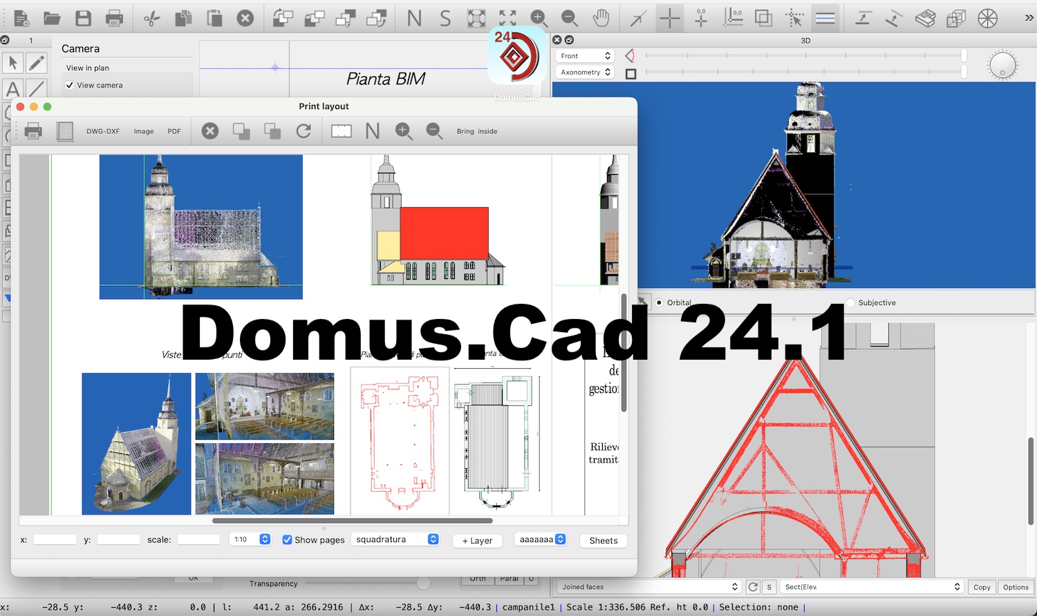
The 24.1 version of Domus.Cad Pro and Std, BIM program of architectural and engineering design, has been released.
This new version presents many important novelties, which continue to make the program increasingly comprehensive, exclusive conventionality. Below we talk about some of these novelties.
Point Clouds
Work continues on point clouds, making them increasingly integrated into BIM design.
Creation of contour-lines
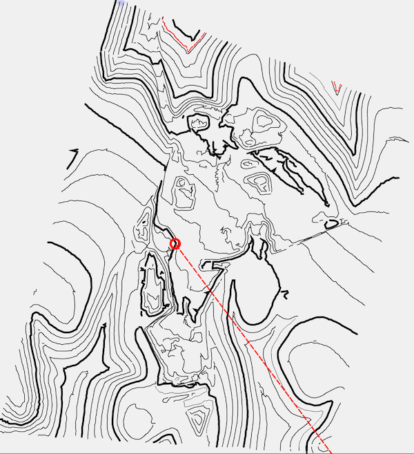
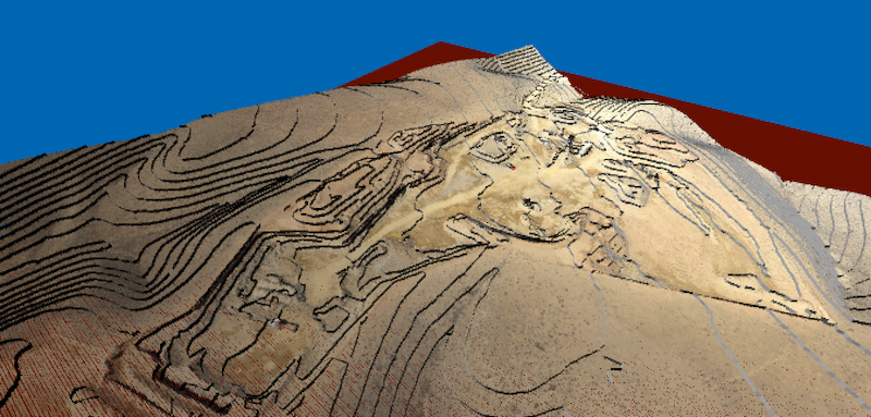
From the point clouds of a terrain, contour-lines can be extracted, both in plan and in 3D.
See above and see below
These new options enable the view above or below the section plane, allowing you to highlight in 3D what has been sectioned.
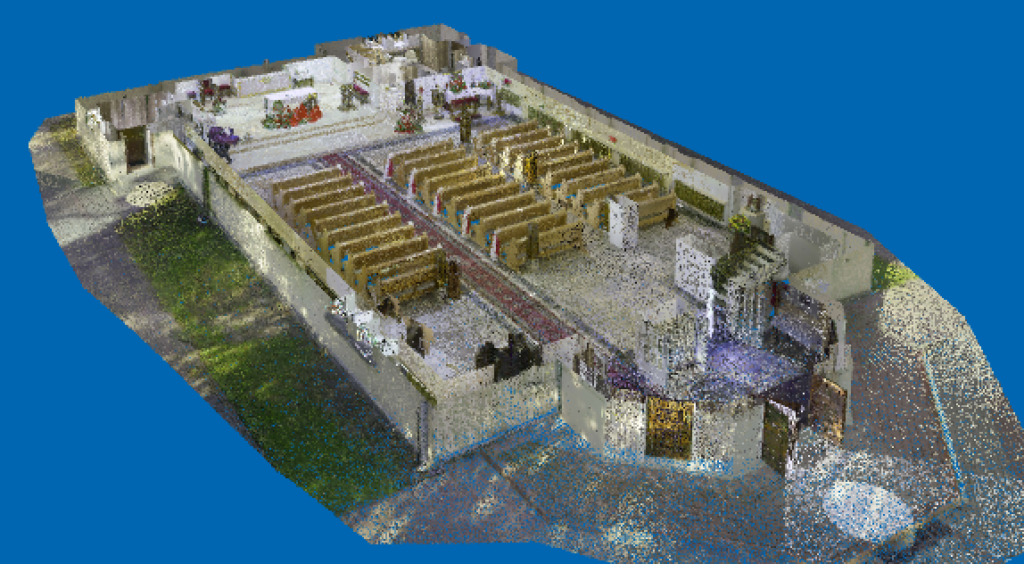
The top has been hidden
Transformation into points and polygons
The dynamic section of the cloud, displayed at different heights in the various layers, can be “photographed” either by creating objects of points, or by extracting vector polygons.
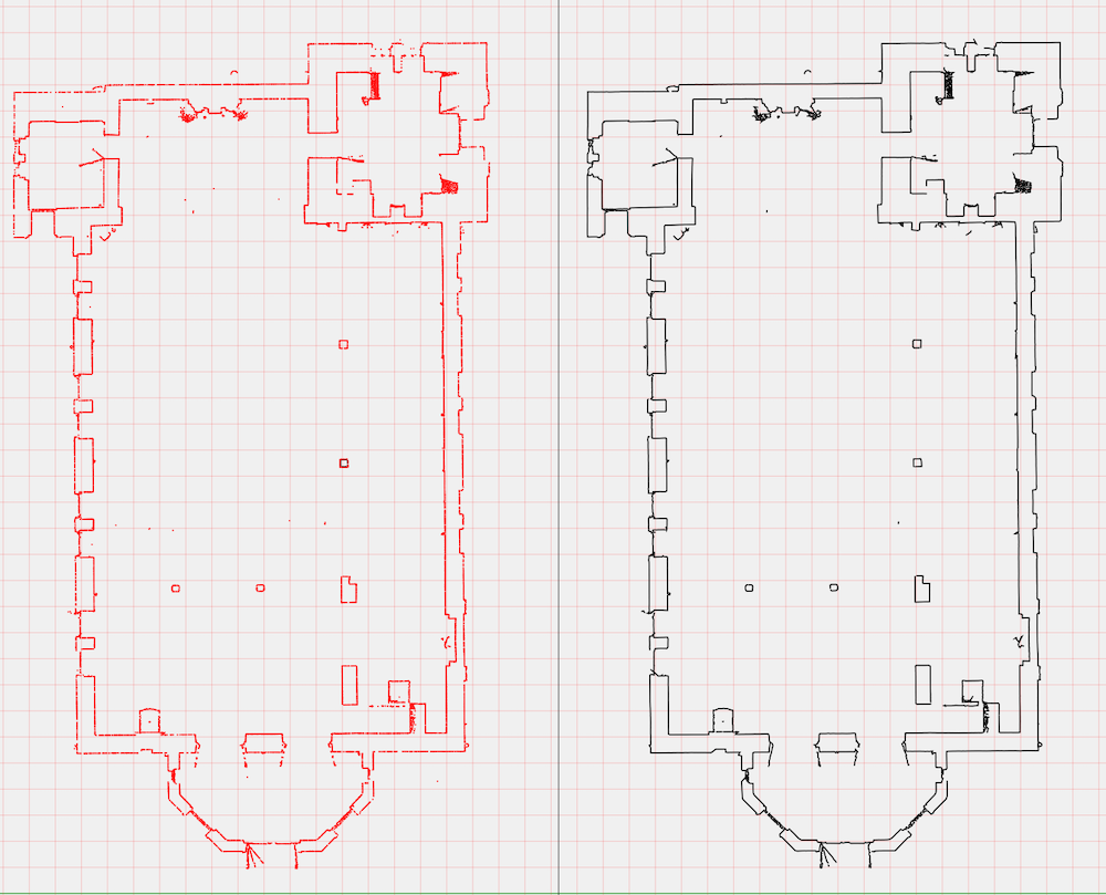
Vector display
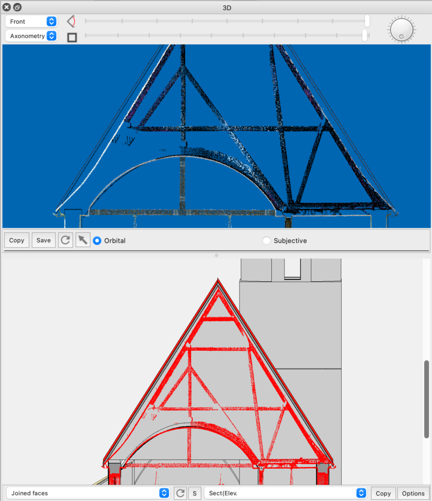
The sectioned cloud is also represented in the vector window, allowing precise measurements of angles and distances also in section and elevation.
In this way the comparison between cloud and BIM model is perfectly comparable and measurable.
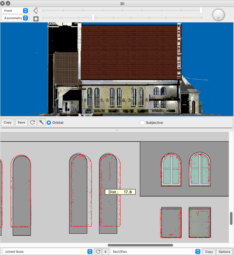
The visualization within a certain depth allows for example to highlight a structure.
Resample Image
This new feature allows you to change the color depth and resolution of images, so as to adapt them to the technical needs of the project and printing
For example, switching from one image to millions of colors to one in black and white, which might be good for technical drawings, the required memory is reduced by 1/32th.
Follow path
This command allows you to perform a 3D view animation based on a preset path in two different modes:
- Following the path of a selected polygon
- With a 360 degree turn around the center of view
Follow selected polygon
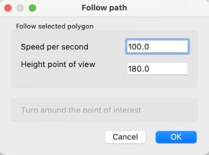
If there is a selected polygon, the following dialog appears:
The path is followed with the speed indicated for each second. In figure 100 cm/sec, corresponding to 3,6 Km/h or 22 M/h,
The path is followed by the camera at the indicated height and the observed point at the same height of the camera.
Around the center
If no polygon is selected, the control rotates the camera position around the observed point with a full 360 degree rotation.
The heights of the point of view and the observed point remain those set when the command is executed.
Other news
These are some of the new features of the new version, for a more complete list see:


