The iPhone Lidar Sensor

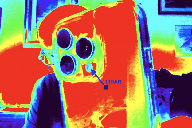
The LiDAR (Light Detection and Ranging) sensor is a fascinating technology that uses light to measure distances and create detailed maps of the surrounding environment. Here’s how it works: Laser Pulse Emission: The LiDAR system emits pulses of laser light into the environment. These pulses travel at the speed of light. Reflection: When laser pulses…

Important news in Domus.Cad 25

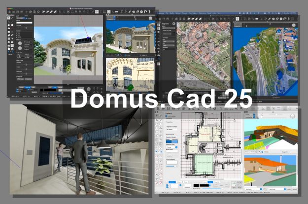
The new version 25 of Domus.Cad has been released with really important news, let’s see some of them. Advanced rendering Domus.Cad had in previous versions two types of rendering: a photorealistic rendering in real time, able to quickly show every variation of the project and to navigate in real time inside and through it and…

Referenced and geo-referenced images

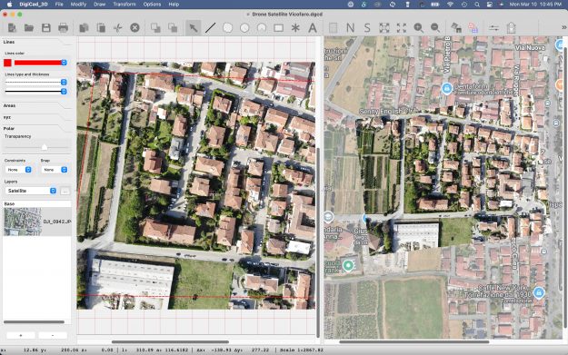
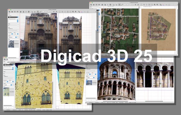
DigiCad 3D è un programma di fotogrammetria architettonica, aerea, satellitare e di cartografia. In realtà si suoi utilizzi pratici non si limitano solo a questo, viene utilizzato in archeologia, ricostruzioni di incidenti, confini e molto altro. In tutti questi usi una caratteristica comune è quella di referenziare o geo-referenziare delle immagini di vario tipo per…

The new features of DigiCad 3D 25

DigiCad 3D, a software for aerial and ground photogrammetry and cartography, has reached version 25. Let’s see what’s new. nspector panel The inspection panel has been modified and other controls have been added. Transparency The transparency slider allows you to change the transparency of selected elements. If there are selected elements, their transparency is changed…

Domus.Cad objects from 3D models

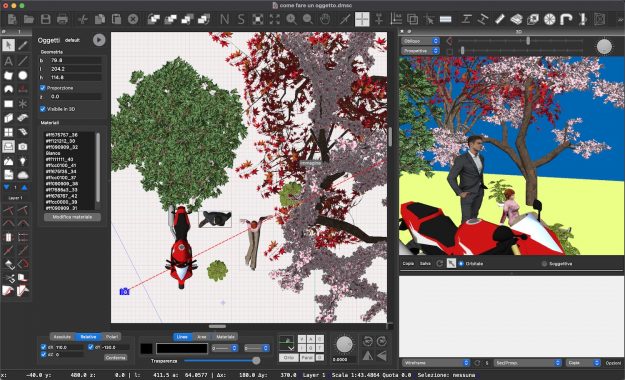
Domus.Cad can import 3D models of any type and in many formats, such as obj, 3ds and many others. With a simple search on the Internet you can find thousands of these models of all types and you can use them in Domus.Cad Pro and Std. Models are imported with the command Import->3D model from…