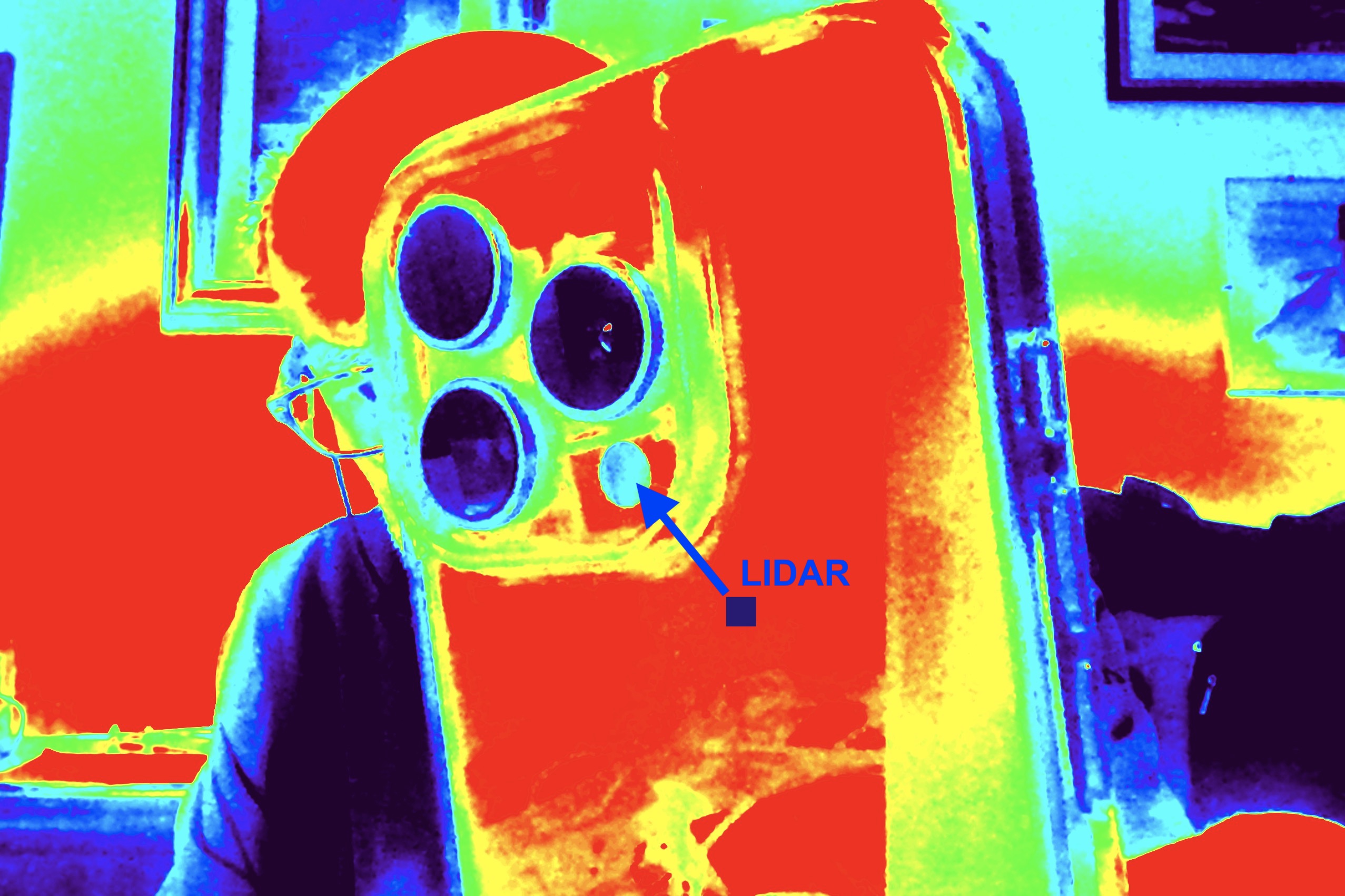
The LiDAR (Light Detection and Ranging) sensor is a fascinating technology that uses light to measure distances and create detailed maps of the surrounding environment. Here’s how it works:
- Laser Pulse Emission: The LiDAR system emits pulses of laser light into the environment. These pulses travel at the speed of light.
- Reflection: When laser pulses hit an object, they are reflected back towards the sensor.
- Time Measurement: The sensor calculates the time it takes for the pulses to return. This information is critical to determining the distance between the sensor and the object.
- Distance calculation: Using the speed of light formula, the system calculates the distance traveled by the laser pulses.
- Creating 3D Models: By collecting data from thousands of laser pulses, LiDAR can create detailed three-dimensional models of the environment, useful in various areas such as architecture, geology and urban planning.
Benefits of LiDAR:
- High precision: It can measure distances with an accuracy of about 2cm.
- Speed: Collects data quickly, making it ideal for large areas.
- Versatility: Used in many applications, from topographic mapping to building scanning.
The iPhone Pro sensor
The LiDAR sensor of iPhones has remarkable precision, making it very useful for various purposes, such as scanning environments and creating 3D models. Here are some key details about its accuracy:
- Range of action: LiDAR has a range of approximately 5 meters.
- Accuracy: The accuracy is approximately 2cm, which is enough to detect buildings and interior spaces room by room.
- Limitations: It is not effective in very high environments, above 7 meters.
Furthermore, the sensor is particularly useful for processing architectural surveys at a scale of 1:200 or larger, making it a versatile tool for architects and designers.
The iPhone Lidar sensor, used via various specialized apps, generates various types of models, such as point clouds, meshes, and more.
Why Domus.Cad
Domus.Cad can directly import and manage point clouds detected by iPhone Lidar sensors. After the survey carried out with an iPhone Pro is imported into Domus.Cad it becomes a particular Cloud-type architectural object, for which the program offers a complete and effective series of interactive functions, perfectly integrated into the rest of the program and BIM design.
To learn more about the advantages of Domus.Cad in managing Lidar surveys, see the following articles:


